News
GISCAD-“OV” – “On-field validation” for real!

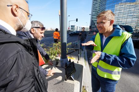
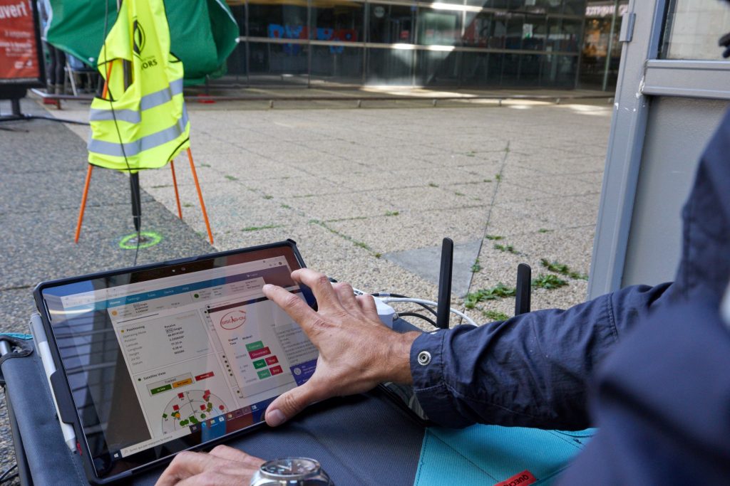
Photos taken on 2021-09-29 at Arpajon, Essonne and 2021-09-30 at La Défense, Puteaux, Hauts-de-Seine.
Accompanied by Mr Gilles Costa from Arkane Foncier, Géomètres-experts associés.
The GISCAD-OV project has entered a new phase, at the mid-point of its implementation (having started in December 2019 and will last 36 months), with field testing operations that took place successively from 20th to 23rd September in Italy and in France from 24th to 30th September.
With the benevolent support of local surveyors in both countries, the project team conducted several survey measurements under different cadastral scenarios (e.g. parcel subdivision, union, modification, building implementation) and environmental conditions (urban, rural, forestry cover), to test and validate the GISCAD-OV solution using correction services of the brand-new European GNSS Galileo High Accuracy Service (HAS).
The preliminary results and data obtained in these first two countries will help to refine the legal and technical requirements for the next pilot projects, which will be carried out by 2022 in the other five participating European countries (Croatia, Czech Republic, Estonia, Germany and Spain).
Please read the GISCAD-OV Project Report for the period January to June 2021.


Back


