News
CLGE Young Surveyors’ Contest Finals 2023
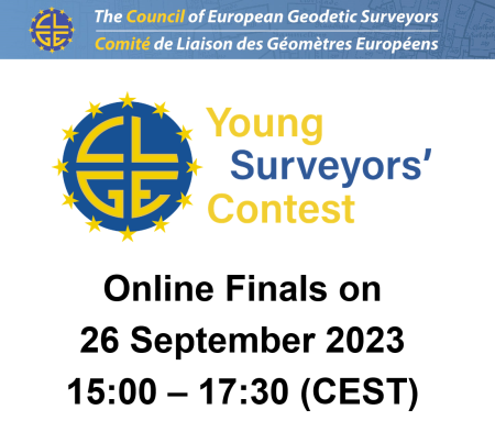
The CLGE Vetting Committee of the CLGE Young Surveyors’ Contest have selected the best entries from 44 participants. They will present their thesis in the online Finals on Tuesday, 26 September 2023.
The winners of the Contest will receive money prizes up to EUR 1500 and travel to the Awarding Ceremony at INTERGEO 2023. Everyone is welcome to register here for the Online Finals and we will send you the joining link before the event. We look forward to your participation and you are welcome to share this information amongst your friends and colleagues. The deadline for registrations is Monday, 25 September 2023.
After the Finals the winners will be chosen by the CLGE Vetting Committee. The announcement of the winners and the awarding ceremony will take place at INTERGEO in Berlin (DE) from 16:00 to 17:00 (CEST) on Wednesday, 11 October 2023 (Hall 3.2. Stand D3.037).
Agenda for Online Finals on 26 September 2023:
15:00 – 16:00 (CEST) presentations of finalists in Masters and Bachelors category:
- Francisco Salgado-Castillo – Assessing vegetation phenology trends through traffic camera data: Imputation, analysis, and Comparison with satellite-based observations (Geospatial Surveying and Mapping at Newcastle University, United Kingdom)
- Selorm Komla Darkey and team – Exploring open data: Creating an online map for analysing population and migration dynamics as factors for data-driven urban planning and housing demand prediction in the Stuttgart and Karlsruhe administrative districts by 2040 (Photogrammetry and Geoinformatics at Stuttgart University of Applied Sciences, Germany)
- Miloš Tutnjević – Creation of thematic maps and 3D models of objects using UAV and LiDAR technology (University of Banja Luka, Bosnia and Herzegovina)
- Maria Nikolova – Detecting caves using microgravimetry: a study on the Prohodna cave (University of Architecture, Civil Engineering and Geodesy, Sofia, Bulgaria)
- Asnate Egle – GIS solutions for road display and management (Department of Geomatic at Riga Technical University, Latvia)
- Mohamed Al Hashmi – Automating the detection of oil spills from Sentinel-1 SAR imagery using deep learning (Geospatial Surveying and Mapping at Newcastle University, United Kingdom)
16:00 – Break
16:30 – 17:30 (CEST) presentations of finalists in PhD category:
- Lasse Hedegaard Hansen – Augmented Reality for subsurface utility engineering: exploring and developing 3D capture and AR visualization methods for subsurface utilities (Surveying, Planning and Land Management at Aalborg University, Denmark)
- Alina Fedorchuk – Methodology for improving the accuracy of GNSS levelling based on local correction of the heights of global geoid models (Department of Geodesy and Astronomy at Lviv Polytechnic National University, Ukraine)
- Suzanna Cuypers – Planimetric rail positioning using UAV photogrammetry: towards automated and safe railway infrastructure monitoring (Department of Civil Engineering – Geomatics section at Katholieke Universiteit Leuven, Belgium)
- Vahidreza Jahanmard and team – A methodology towards realistic absolute dynamic topography in the Baltic Sea using a synergy of marine geoid and sea level data sets (Geodesy research group at the Dept. of Civil Engineering and Architecture, Tallinn University of Technology, Estonia)
- Dogus Guler – BIM-based 3D registration of condominium rights through integration of the standards (Department of Geomatics Engineering at Istanbul Technical University, Turkey)
- Dimitrios Psychas – Fast and reliable multi-GNSS precise point positioning with integer ambiguity resolution (Delft University of Technology, Netherlands)
Back


